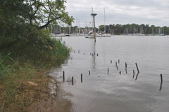
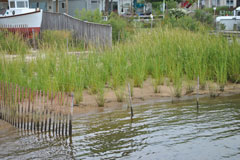
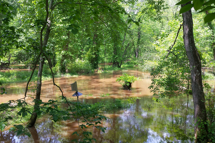
Protect Natural Resources
Preserve, restore or enhance valuable and vulnerable land and water resources providing hazard mitigation and other co-benefits, including floodplains, wetlands, forest, stream systems, steep slopes, hydric and highly erodible soils, and important habitat areas.
Regional scale
Local scale
Methodology |
|
|---|---|
| Mandatory criteria |
Not already protected
Not paved or a building
|
| State-designated ecological significance |
Statewide Green Infrastructure Hub-Corridor Network
Targeted Ecological Areas
Significant for Biodiversity Conservation (BioNet Tiers 1-5)
Natural Heritage Areas
Wetlands of Special State Concern + 100 ft buffer
|
| Watershed characteristics (DNR 12-digit watersheds) |
Percent forest cover (more forest preferred)
Percent impervious surface (<5%/5-10%/10-20%/>20%)
Blue Infrastructure Priority Watersheds
100 foot buffers of Stronghold Watershed streams, trout bearing streams, streams feeding municipal drinking water reservoirs, and Tier II High Quality Waters (Forests of Recognized Importance)
|
| County/Local Scale Resource Features |
County green infrastructure plans (Howard, Montgomery, Prince George’s, and Anne Arundel)
Wetlands + 100-foot buffer
Surface waters + 100-foot buffer
1% (100 year) floodplains
2% (500 year) floodplains
Forest patches with at least 1 acre of interior
Blue Infrastructure Priority Watersheds
Forest patches delineated within Baltimore ≥10,000 ft2 and >90 ft wide
Forest corridors ranked by importance
Highly erodible soils
Steep slopes (>15%)
Baltimore City Habitat Protected Areas
Anne Arundel bog wetlands + 100 ft buffer
|
| Population vulnerability |
Number of people/mi^2
% Population with income below poverty (12mo)
% Population of non-proficient English speakers
% Population <18 or >= 65 years of age
|
| Ecosystem service values |
Stormwater Abatement
Groundwater Recharge
Air Quality
Sediment and Nutrient Capture
Carbon Sequestration
|
